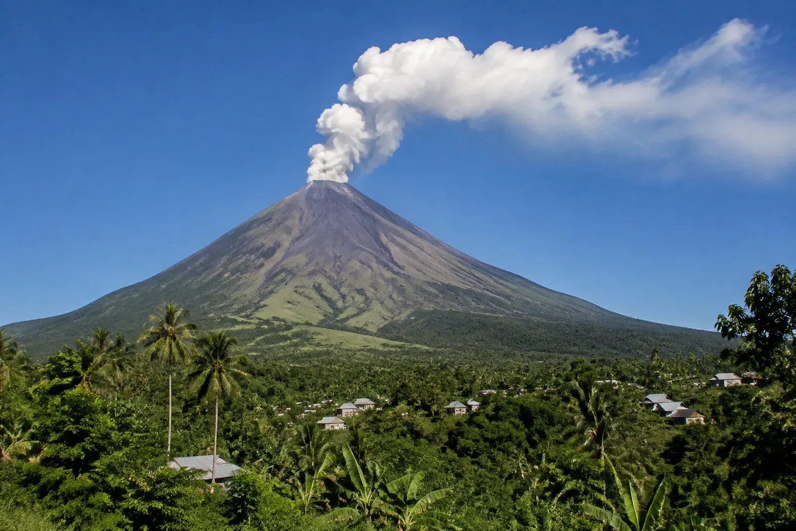
Ile Lewotolok Records 1,873 Eruptions in Five-Day Observation
Ile Lewotolok volcano in East Nusa Tenggara recorded 1,873 eruptions from September 1 to 5, according to local observers.
Ile Lewotolok volcano in Lembata District, East Nusa Tenggara, recorded 1,873 eruptions during an observation period spanning September 1 to 5, 2026, according to ANTARA.
The figures underline an active period at the volcano, with ash columns, avalanches and a wide range of seismic signals documented by the observing team. For investors and travellers assessing Indonesian regional risk, the report is a reminder that location-specific monitoring matters more than broad assumptions about the archipelago.
A concentrated period of volcanic activity
Stanislaus Arakian, an observer at Ile Lewotolok, said the volcano experienced repeated eruptions during the five-day period. Eruption heights were observed at 200 to 700 metres from the summit.
Key observation: Ile Lewotolok recorded 1,873 eruptions between September 1 and 5, with eruption heights reaching 200-700 metres from the summit.
The ash columns were reported in white, grey and black. Observers also recorded avalanches travelling up to 700 metres from the summit towards the southeast.
Visual conditions changed during the observation period. The mountain was at times clearly visible, before fog obscured it at Level 0-II. White smoke from the main crater rose approximately 20 to 500 metres above the summit, varying from thin to thick intensity.
The latest eruption cited in the report occurred at 9:35 p.m. Its ash column was seen at less than 500 metres above the summit, or approximately 1,923 metres above sea level. The column was grey, thick in intensity and directed south and west. The event registered a maximum seismic amplitude of 40 mm and a duration of approximately 32 seconds.
What the seismic record shows
The observation team documented activity beyond the reported eruptions. Its record included a variety of earthquake and tremor types, illustrating the breadth of seismic movement tracked around the volcano.
- One avalanche earthquake was recorded, with an amplitude of 40 mm and a duration of 85 seconds.
- 663 gust earthquakes were recorded, with amplitudes of 3.3-40 mm and durations of 17-85 seconds.
- 14 harmonic earthquakes were recorded, with amplitudes of 5.5-40 mm and durations of 80-209 seconds.
- 221 non-harmonic tremors were recorded, with amplitudes of 3.3-40 mm and durations of 77-503 seconds.
- Six hybrid or multiphase earthquakes were recorded, with amplitudes of 6.6-22.1 mm, S-P intervals of 1.1-2.5 seconds and durations of 12-21 seconds.
- Four shallow volcanic earthquakes and six deep volcanic earthquakes were detected.
- Three distant tectonic earthquakes also occurred.
This detail matters because a single eruption height is only one observation within a larger monitoring picture. The reported record combines surface manifestations, including ash and avalanches, with seismic readings gathered over the period.
Arakian also addressed an eruption observed at 6:41 a.m. on Sunday, reported with a height of 600 metres. He said video footage had been taken by a guide near the crater, making the eruption appear higher.
Why geography remains central to risk assessment
Indonesia is a large archipelago, and volcanic developments are inherently local. Ile Lewotolok is in Lembata District, East Nusa Tenggara; it is not in Lombok. That distinction is important for readers considering Lombok-related travel, property or operating decisions.
A report of significant activity at one Indonesian volcano should not be treated as a general statement about conditions across every island or investment market. Nor does the ANTARA report make claims about effects on Lombok, South Lombok property, tourism operations or infrastructure.
For internationally based investors, the practical lesson is straightforward: distinguish between regional headlines and asset-level exposure. A decision concerning a villa, a landholding, a hospitality business or a planned visit should be informed by the conditions relevant to its precise location, as well as by official guidance and the terms of relevant insurance, financing and management arrangements.
What this means for investors
The immediate news concerns volcanic activity in Lembata, rather than a Lombok market event. It nevertheless reinforces several principles useful for investors with Indonesian exposure:
- Treat volcanic and weather-related reporting as geographically specific.
- Review information from the appropriate local monitoring authorities before making travel or operational decisions.
- Ask property managers and counterparties how they monitor and communicate location-specific disruptions.
- Avoid drawing property-market conclusions from a volcano report that does not concern the relevant market.
For Lombok-focused buyers, diligence should remain proportionate and practical. Where a transaction involves property, foreign buyers should also understand the applicable ownership route. Foreigners cannot hold freehold Hak Milik, or SHM, which is reserved for Indonesian citizens. Available routes include leasehold, Hak Pakai for eligible residents, and a PT PMA structure holding Hak Guna Bangunan.
Legal structure, title due diligence and site-specific risk assessment are separate disciplines, but each belongs in a serious acquisition process. TerraNusa Advisory, HubLombok's legal and notary advisory partner, provides due diligence covering certificates, ownership history, zoning and encumbrances, as well as company setup, taxes, deed work and title transfer at the land office. Its role is advisory rather than a substitute for official monitoring of changing local conditions.
The Ile Lewotolok report offers no basis for a broad market forecast. Its value lies in the precision of the observation: repeated eruptions, measurable ash columns, recorded avalanches and a detailed seismic log over a defined period. Investors are best served by applying the same precision to their own exposure.
Stay informed, subscribe to the free Lombok Briefing for analysis like this, published twice a month.
Where did the Ile Lewotolok eruptions occur?
The reported activity occurred at Ile Lewotolok volcano in Lembata District, East Nusa Tenggara. The ANTARA report concerns Lembata and does not state that the eruptions affected Lombok, South Lombok property or Lombok tourism operations.
How active was Ile Lewotolok during the observation period?
Ile Lewotolok recorded 1,873 eruptions from September 1 to 5, 2026. Observers reported eruption heights of 200-700 metres from the summit, ash columns in several colours, and avalanches travelling up to 700 metres southeast.
What should Lombok investors take from this report?
The principal lesson is to assess risk by exact location rather than treating Indonesia as one market. This report concerns Lembata, not Lombok, and provides no stated basis for conclusions about Lombok property, infrastructure, tourism or investment performance.

The Lombok Buyer's Field Guide
Legal structures ranked by risk, the honest ROI math line by line, all six zones ranked, and the 24-point due-diligence checklist. The whole book, free in your inbox.
See what's inside