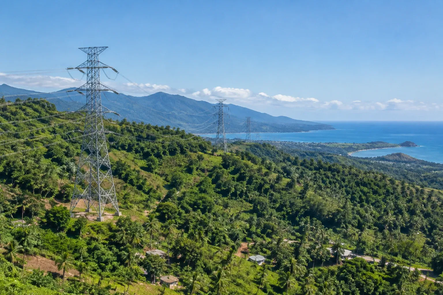
Mount Ile Lewotolok Activity Highlights Indonesian Volcanic Monitoring
Volcanic activity at Mount Ile Lewotolok in East Nusa Tenggara remains elevated at Level II, highlighting local safety protocols and Indonesia's rigorous geological oversight.
Geological monitoring authorities in East Nusa Tenggara have confirmed that eruptive and seismic activity at Mount Ile Lewotolok remains elevated, maintaining the volcano at Level II Alert status. The latest official evaluation underscores the operational precision of Indonesia's geophysical monitoring framework across its eastern island corridors.
For international property buyers and portfolio managers evaluating opportunities across the Indonesian archipelago, understanding the geographical distribution of volcanic systems and the institutional response of local authorities is an essential component of jurisdictional risk assessment. Mount Ile Lewotolok, located on the island of Lembata in East Nusa Tenggara (NTT), represents a distinct and localized geological theatre, operating hundreds of kilometres east of the primary resort markets in West Nusa Tenggara and Bali.
Sustained Activity and Seismic Observations at Lembata
The Ile Lewotolok Mount Observation Post (PPG), situated in Laranwutun Village within the Ile Ape District, released its comprehensive activity evaluation covering the observation period of 16 to 31 October 2026. Official observer Stanislaus Arakian reported that the volcano continues to demonstrate high levels of internal seismicity and surface emissions.
According to the observational log, seismic recording instruments captured a significant sequence of subterranean and surface events throughout the two-week reporting window:
- 1,137 eruption earthquakes, which represented the dominant seismic category recorded by the monitoring station.
- 1,632 emission earthquakes, reflecting persistent venting of gas and steam through the summit vents.
- 187 avalanche earthquakes, generated by the physical movement of unstable volcanic material across the crater flanks.
- 53 deep volcanic earthquakes, providing direct geophysical evidence of rock fracturing caused by magma migration from depth into the upper volcanic conduit.
- 58 non-harmonic tremors and 7 harmonic tremors, alongside 10 tornillo earthquakes and 6 shallow volcanic earthquakes.
- 26 local tectonic earthquakes and 47 distant tectonic earthquakes, reflecting broader regional tectonic adjustments.
Visually, surface activity during this evaluation window produced ash columns rising between 100 and 500 metres above the summit crater. Observers noted that the eruption plumes ranged from white to grey in colouration, while diffuse crater smoke reached heights of up to 500 metres with variable thin to thick density. These physical venting episodes were intermittently accompanied by audible rumblings and subterranean thuds of weak to strong intensity.
Ground Deformation, Magma Dynamics, and Crater Activity
Beyond raw seismic event counts, instrumental geodetic tracking provides critical insight into the structural mechanics of Mount Ile Lewotolok. Observation staff documented visible nocturnal fire glow at the summit, alongside the intermittent ejection of incandescent material across all compass directions, strictly confined within the immediate crater perimeter.
Lava avalanches were directly observed moving down the outer flanks, sliding up to 700 metres from the summit toward the southeast and up to 500 metres toward the south. Significantly, observational teams noted no measurable expansion in the maximum travel distance of lava flows in either sector over the course of the evaluation period, indicating that effusive material remains contained within existing established channels.
"The increase in deep volcanic earthquakes indicates a process of rock fracturing caused by magma supply from greater depths toward shallower parts of the volcano's body.", Evaluation Report, Mount Ile Lewotolok Observation Post (PPG)
Deformation monitoring revealed an alternating pattern of deflation and inflation across the volcano's physical structure. However, extended baseline observations continue to demonstrate an underlying net inflationary trend, confirming that magma replenishment continues to maintain structural swelling within the edifice.
Risk Mitigation Protocols and Civil Protection Measures
In response to sustained Level II conditions, the Center for Volcanology and Geological Disaster Mitigation (PVMBG) and the local observation post have enforced strict perimeter restrictions to protect local populations, domestic travellers, and visiting researchers. Civil protection measures include:
- Primary exclusion zone: A mandatory ban on all human presence within a 2-kilometre radius extending outward from the active summit crater.
- Sectoral buffer zones: An expanded 3-kilometre exclusion zone in the southern and southeastern sectors, reflecting historical flow paths and potential avalanche corridors.
- Secondary hazard warnings: Specific advisories regarding the risk of localized landslides, pyroclastic flows, and incandescent rockfalls in the southern, southeastern, western, and northeastern sectors.
- Hydrological precautions: Strict warnings for communities situated along river systems originating at the summit, where rainfall during the wet season creates potential risks of secondary lahar flows.
- Public health advisories: Recommendations for nearby residents to wear respiratory protective masks, safeguard water storage tanks against volcanic ash contamination, and deploy eye protection during periods of downwind ashfall.
The administrative government of Lembata Regency and the local Regional Disaster Management Agency (BPBD) maintain direct, real-time coordination with the monitoring post in Laranwutun Village and PVMBG headquarters to adjust evacuation boundaries should physical indicators escalate.
Regional Context: Understanding Indonesian Archipelago Geography
For international capital assessing Indonesian assets, geographic literacy is critical. The Indonesian archipelago spans thousands of islands across multiple distinct tectonic zones. Volcanic features in remote eastern provinces such as Lembata are separated by expansive oceanic straits and substantial geographic distances from key investment hubs in western and central Indonesia.
Lembata sits in the eastern reaches of the Lesser Sunda Islands, well removed from the main international transit routes serving Lombok and Bali. While local aviation within East Nusa Tenggara may require periodic tactical adjustments during localized ash venting, commercial flight paths, international maritime corridors, and municipal utilities in West Nusa Tenggara remain entirely unimpacted by localized activity on Lembata.
Indonesia's robust network of observation posts reflects decades of institutional experience in monitoring geological hazards. The presence of specialized vulcanologists, round-the-clock seismic arrays, and transparent alert protocols ensures that environmental risks are catalogued, measured, and communicated with empirical precision.
What This Means for Investors
Sophisticated investors in emerging frontier markets recognize that disciplined operational monitoring is a marker of regulatory maturity rather than market distress. The proactive handling of Mount Ile Lewotolok offers several relevant takeaways for international property buyers:
- Institutional competence: Regional disaster mitigation agencies (BPBD) and national technical bodies (PVMBG) demonstrate clear command over hazard communication, maintaining precise exclusion perimeters that prevent disruption to broader regional commerce.
- Geographic isolation of environmental risk: Localized volcanic alerts in eastern island clusters do not translate to systemic macro risk across unrelated investment zones in the archipelago.
- Infrastructure and supply chain integrity: Strategic infrastructure, international airports, and logistics lines across major economic hubs continue uninterrupted operations, supported by modern real-time airspace monitoring.
As Indonesia continues to attract foreign investment into residential, commercial, and tourism infrastructure, the sustained operational discipline exhibited by monitoring agencies provides cross-border capital with the transparency required to underwrite regional assets with confidence.
Stay informed: subscribe to our free Lombok Briefing, published twice a month (the 1st and 15th), for analysis like this.
What is the current alert status of Mount Ile Lewotolok?
Mount Ile Lewotolok remains at Level II Alert status. Indonesian geological authorities have established a 2-kilometre exclusion zone around the crater, extended to 3 kilometres in the southern and southeastern sectors, due to persistent seismic activity, ash emissions, and localized lava avalanches.
Does activity at Mount Ile Lewotolok affect travel or property in Lombok?
No. Mount Ile Lewotolok is located on Lembata Island in East Nusa Tenggara, hundreds of kilometres east of Lombok. The activity is entirely localized, posing no threat to infrastructure, municipal utilities, or property markets across West Nusa Tenggara or Lombok.
What hazards are authorities monitoring around the volcano?
Geological observers and local disaster management agencies are tracking volcanic ash venting, summit incandescent material, lava avalanches sliding up to 700 metres, and potential lahar flows along river valleys during rainfall, while enforcing community health precautions.

The Lombok Buyer's Field Guide
Legal structures ranked by risk, the honest ROI math line by line, all six zones ranked, and the 24-point due-diligence checklist. The whole book, free in your inbox.
See what's inside